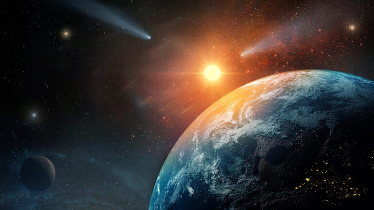
The world of clouds is vast and fascinating, showcasing an ever-changing tapestry of shapes, colors, and formations. While many clouds appear familiar, some exhibit truly unique characteristics that leave us in awe. These Weirdest Clouds are more than just meteorological marvels; they often spark curiosity and imagination, leading to countless interpretations and legends.
From shimmering mother-of-pearl clouds mirroring celestial beauty to menacing anvil clouds marking powerful thunderstorms, the variety is astounding. Exploring these unusual cloud formations allows us to delve deeper into the intricate workings of our atmosphere and appreciate the sheer artistry nature displays. Let’s embark on a journey to uncover the mysteries behind some of the most captivating Strange Cloud Formations Known To Humankind.
Each formation tells a story, revealing specific atmospheric conditions and processes at play. Get ready to be amazed as we decipher the science behind these Weird Clouds, unraveling their secrets and shedding light on their extraordinary beauty.
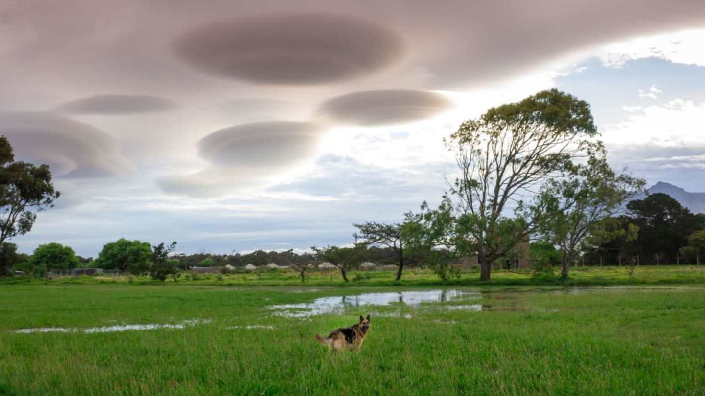
Lenticular Clouds: UFOs in the Sky?
Have you ever looked up at the sky and seen a cloud that resembles a flying saucer or a giant pancake? These are lenticular clouds, aptly named for their lens-Like Shape. They form when wind encounters a mountain or even a tall building, creating waves of air that rise and descend. As these air currents cool, They Condense Into Visible Clouds, resulting in the smooth, Rounded Formations We Recognize As Lenticular Clouds.
These mesmerizing clouds are often mistaken for UFOs due to their distinctive appearance and seemingly stationary nature. They can hover above mountains or Other Obstacles, appearing to float effortlessly against the backdrop of the sky. However, despite their resemblance to extraterrestrial spacecraft, lenticular clouds are entirely natural phenomena caused by simple atmospheric processes.
Interestingly, lenticular clouds often appear in clusters, Adding To Their Surreal Quality. Their captivating beauty and mysterious aura make them a popular subject for photographers and cloud enthusiasts alike.
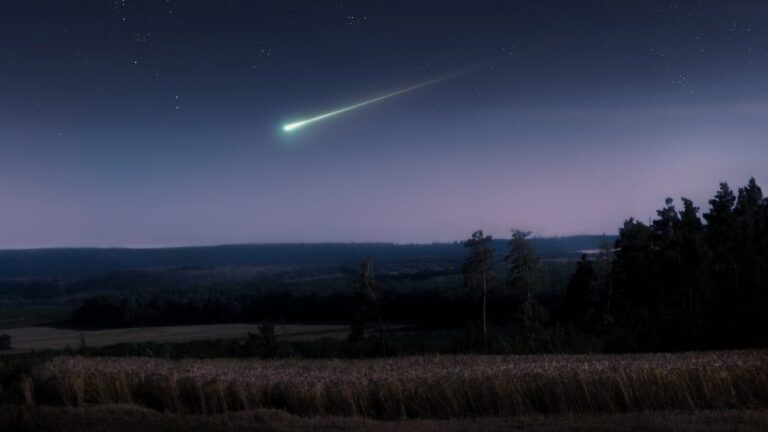
Fallstreak Holes: Cosmic Omens or Atmospheric Phenomena?
Imagine looking up at a cloud and seeing a perfectly round hole appear in its midst, as if something had punched straight Through It. This unusual sight is known as a fallstreak hole, a captivating meteorological phenomenon that has sparked both wonder and speculation for centuries.
These eerie holes form when supercooled water droplets in cirrocumulus or altocumulus clouds come into contact with ice crystals. The instant freezing causes the water To Rapidly Evaporate, leaving behind a clear void in the cloud. The result is a surreal spectacle that resembles a cosmic omen or a giant punchbowl in the sky. While fallstreak holes may appear mysterious, they are ultimately a testament to the complex interplay of temperature and water vapor in our atmosphere.
Despite their eerie appearance, fallstreak holes are harmless and temporary events. They serve as a reminder that even seemingly mundane clouds can harbor fascinating secrets waiting to be discovered.
 Where vs Whereas: Understanding Their Grammatical Differences
Kelvin-helmholtz Clouds: A Rippling Dance of Air
Ever gazed at a cloud formation that resembled rolling ocean waves frozen in time? These mesmerizing patterns are known as Kelvin-helmholtz clouds, a visual symphony of air and light. They form when there’s instability between different layers of clouds, with contrasting wind speeds and directions.
As these layers move past each other, they create ripples and eddies, similar to waves on water. When the moist air within these Turbulent Currents Condenses, it gives rise to the distinctive wave-Like Formations We See As Kelvin-helmholtz clouds. These Weird Cloud Shapes are often short-lived, disappearing as quickly as they appear, making them a fleeting yet unforgettable spectacle.
The delicate balance of atmospheric forces that create Kelvin-helmholtz clouds highlights the constant dynamism and beauty inherent in our weather systems. These captivating displays remind us of the intricate and mesmerizing interplay between air, water, and light that shapes our world.
Mammatus and Anvil Clouds: Thunderstorm Spectacles
When a thunderstorm roars to life, it often paints the sky with dramatic cloud formations that signal its power and intensity. Two of the most eye-catching are mammatus clouds and anvil clouds, each offering a unique glimpse into the workings of these powerful storms.
Mammatus clouds resemble pouches or sacs hanging beneath the main thunderclouds. They form when cold air pockets descend from the storm, pushing the warm, moist air upwards in wave-Like Patterns. These waves condense into visible clouds, creating the distinctive pouch-Like Appearance. Meanwhile, anvil clouds are flat-topped cumulonimbus clouds that spread horizontally at high altitudes. This shape occurs as updrafts carrying warm air within the thunderstorm reach the tropopause, the boundary between the troposphere and the stratosphere. Once reaching this limit, the updrafts spread out horizontally, forming a vast, anvil-Shaped Cloud Formation.
The Enchanting World of Nacreous and Asperitas Clouds
High above the familiar cloudscape lies a world of ethereal beauty and Unique Formations. Nacreous clouds, Also Known As mother-of-Pearl Clouds, shimmer with vibrant colors in the Polar Stratosphere. These stunning displays are caused by light diffraction from ice crystals within these high-Altitude Clouds, creating iridescent hues that rival those seen in gemstones.
Meanwhile, Asperitas clouds add a touch of drama and turbulence to our sky. These turbulent, billowing formations are characterized by their wave-like patterns and chaotic appearance, resulting from disrupted stable air masses. Their unpredictable nature and striking resemblance to ocean waves create a captivating visual spectacle that often leaves observers in awe. The world of nacreous and Asperitas Clouds reminds us that even at high altitudes, the atmosphere is a dynamic and ever-changing canvas of beauty.